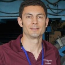
Filippo CATANI, PhD, is Full Professor of Engineering Geology with the Department of Geosciences of the University of Padova and UNESCO Chair Associate on Prevention and Sustainable Management of Geo-Hydrological Hazards with the University of Florence (Italy). He is also an Invited Professor of Landslide Monitoring and Early Warning at KIGAM (South Korea) since 2011. He is a core member of the Joint Technical Committee JTC2 of ISSMGE, IAEG, ISRM on “Representation of Geo-Engineering Data in Electronic Form”, and Member of NASA-JPL informal group on Earth Surface Changes. Since 2018 he is member of the Scientific Committee of the Centre of Civil Protection of the University of Florence. He has been recently Assistant to the President of the International Consortium on Landslides (ICL) (2011 to 2014), Member of the Board of Directors of the University of Florence (2008-2010), Representative of the University of Florence in the H2CU consortium of USA-Italy Engineering Universities (2016-2020), Member of the Directive Board of the Italian Association for Quaternary Studies (AIQUA) and Head of the Research Unit 2.61 of CNR-GNDCI. He is editor of the journals NHESS (EGU) and Geoenvironmental Disasters (Springer) and guest editor of the journals Landslides (Springer) and Remote Sensing (MDPI).

Dr. Sorin Popescu is a highly respected remote sensing specialist with extensive expertise in the field of lidar remote sensing of vegetation structure. He serves as a Principal Investigator on the NASA Science Team for the ICESat-2 satellite Lidar mission, demonstrating his recognition as a leader in his field. Holding a Ph.D. in Forestry from Virginia Tech, Dr. Popescu is currently a professor at Texas A&M University, where he teaches undergraduate and graduate courses in remote sensing and spatial sciences. His research interests encompass a wide range of topics, including natural resources assessment, monitoring, and management, forest fuels, carbon sources and sinks, land use and land cover change, and global environmental change. Dr. Popescu has published numerous peer-reviewed articles and has developed innovative algorithms and software tools for data fusion and LIDAR data processing, enabling the estimation of forest biophysical parameters.

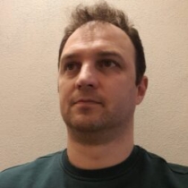
Lorenzo Seguini is currently Scientific Officer at the European Commission Joint Research Centre (JRC), working at the Directorate D.5 food security and external PhD candidate at Twente University doing research on crop yield forecasting in Europe from meteorological and remote sensing data.
Lorenzo will give an overview about the operational needs of earth observation systems or agricultural monitoring at continental scale. Considering the requirements of the crop yield forecasting system of the European Commission, an operational framework for remote sensing data is delineated in the light of ancillary information, time series length, spatial and temporal resolutions and near real time requirements. Possible role of 10-30m resolution imagery (i.e Sentinels and Landsat missions) and their limitations in large and operational contexts is discussed, considering the support from ground information as crop distribution maps and phenological networks. Specific references are provided to the Copernicus land monitoring service, to the Geoglam initiative and to its role on essential agricultural variables.
